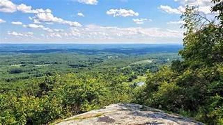
Summer is here and today is a great day for a hike!
What better place to do this than the Kittatinny Mountains.
One of the important aspects of my writing is that it highlights the background enveloping our Sussex County, describing certain attributes of the county and the history involved.
Well, the Kittatinny Mountains are an important part of our county. To emphasize them now is fun in that each of us can drive a few minutes and reach one of several places along Kittatinny Ridge where a hike can begin. Stretching out and moving uphill is exhilarating and once atop the ridge, it is breathtaking to look at what nature has provided us - at no charge!
Long before the European explorers, then settlers, came, there were the Lenni Lenape on the land. Many of our landmarks bear strange names that were given to us by the First Peoples. We will look into other names and places in the future.
This continuous chain of elevated ground goes from where Pennsylvania reaches the Delaware River, at the Delaware Water Gap, which is a beautiful, magnificent scene and wonderful hike in itself; then to the New York state border.
Near the New York border is the highest point in Sussex County - and in New Jersey also. A leisure ride in a car can take you to High Point, where the recently coined Veterans Memorial Monument is located. Don’t forget to go to Sunrise Mountain and take in its spectacular view.
In earlier times, it was a tough exercise to overcome the considerably difficult terrain of the Kittatinny Mountains. Even today, few roads penetrate the ridge.
Route 80 takes advantage of the cut that the Delaware River made through the ancient upheavals and tectonic plate shifts that allowed that passage. Route 206 goes through Culver’s Gap. No stream cut this and it is known as a wind gap.
Route 23 and Deckertown Pike use somewhat useful traverses to struggle up and over the mountains. These are ways to observe nature’s immensity.
You might want to be a day hiker and cover the whole New Jersey Appalachian Trail that goes along the top of the ridge (a two-day hike with overnight camping, which I have done).
There was mixed feeling in the 1700s concerning the mountains. There was some safety felt, in that some enemies during the French and Indian War would be inhibited by the mountains while at the same time, it was more difficult to resupply and defend with the forts along the Delaware River.
One route was Jonathan Hampton’s Military Trail, which was built in 1775-76 out to Walpack Center and over the mountain to the formidable Van Campen Inn and the nearby Fort Johns, the headquarters of the New Jersey Frontier Guard.
At this point, it also met the Old Mine Road that ran along the Delaware River. Even today it is difficult to drive to Van Campen’s, taking a time-consuming ride on a rough and narrow road.
Van Campen’s is a great place to go in the fall during the Heritage Trail event and to experience dye-making and to speak with some friendly and informative Revolutionary War re-enactors.
So go take a hike!
Bill Truran, the Sussex County historian, may be reached at billt1425@gmail.com